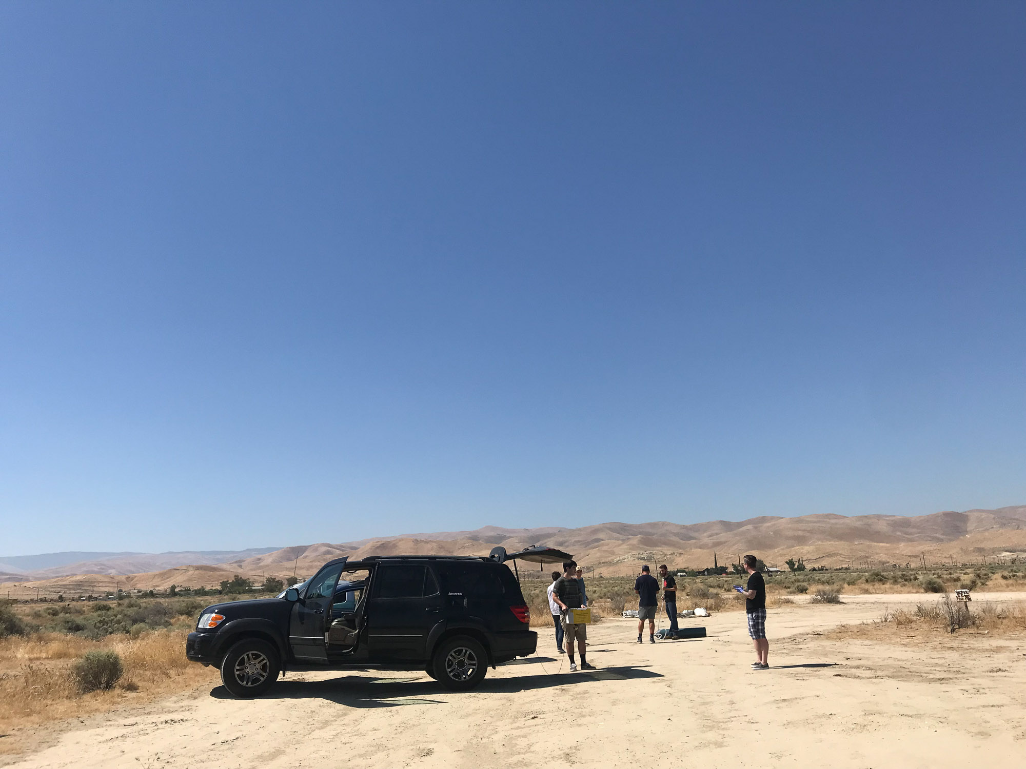
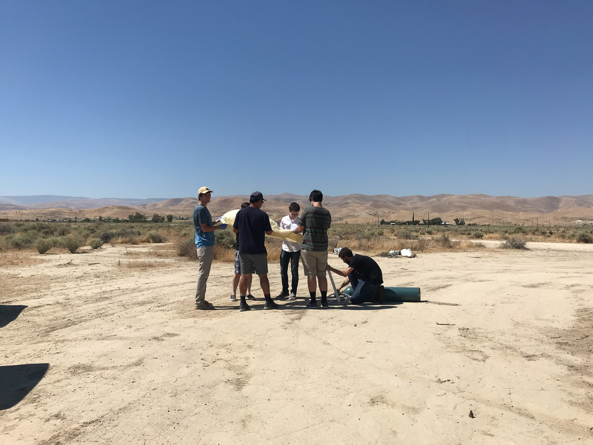
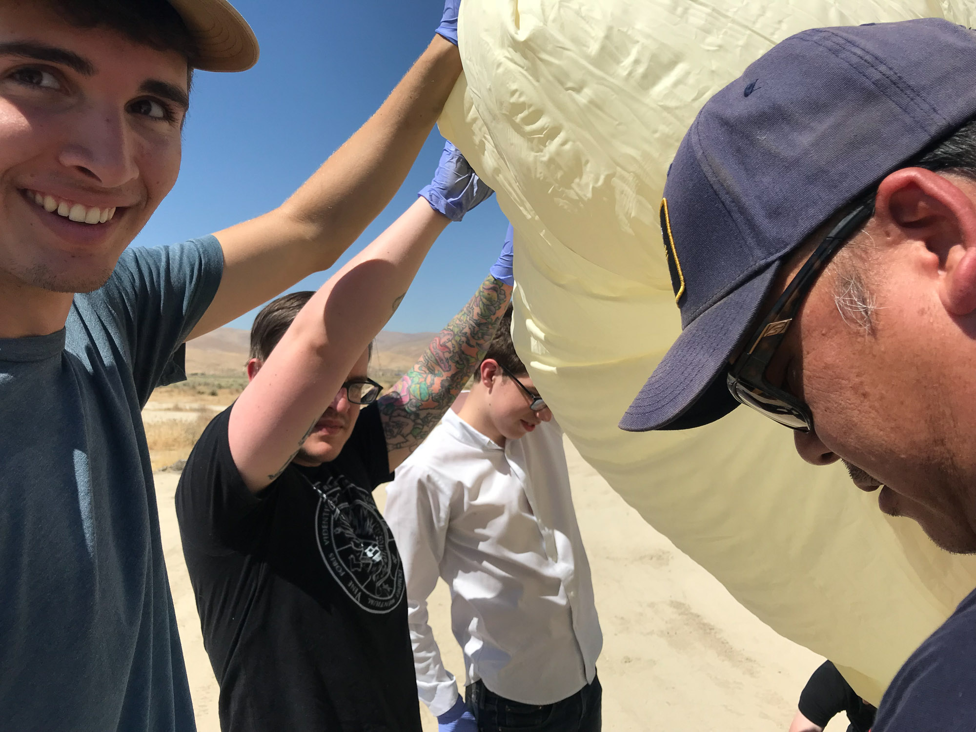
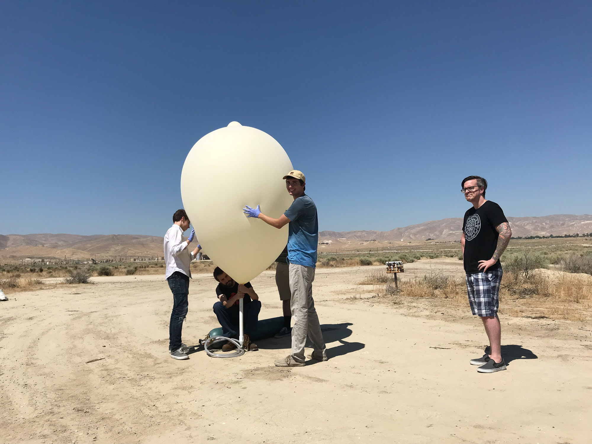
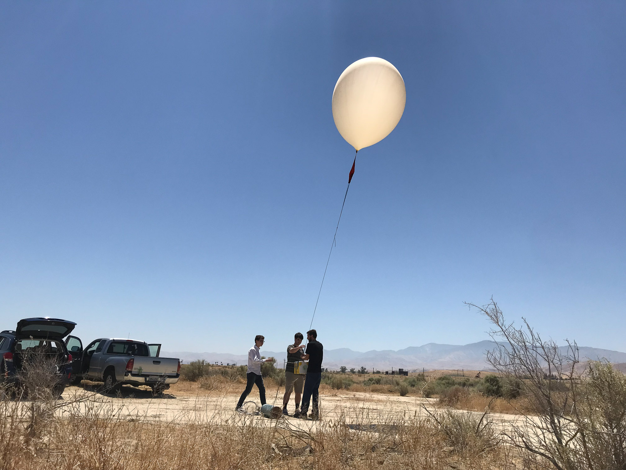
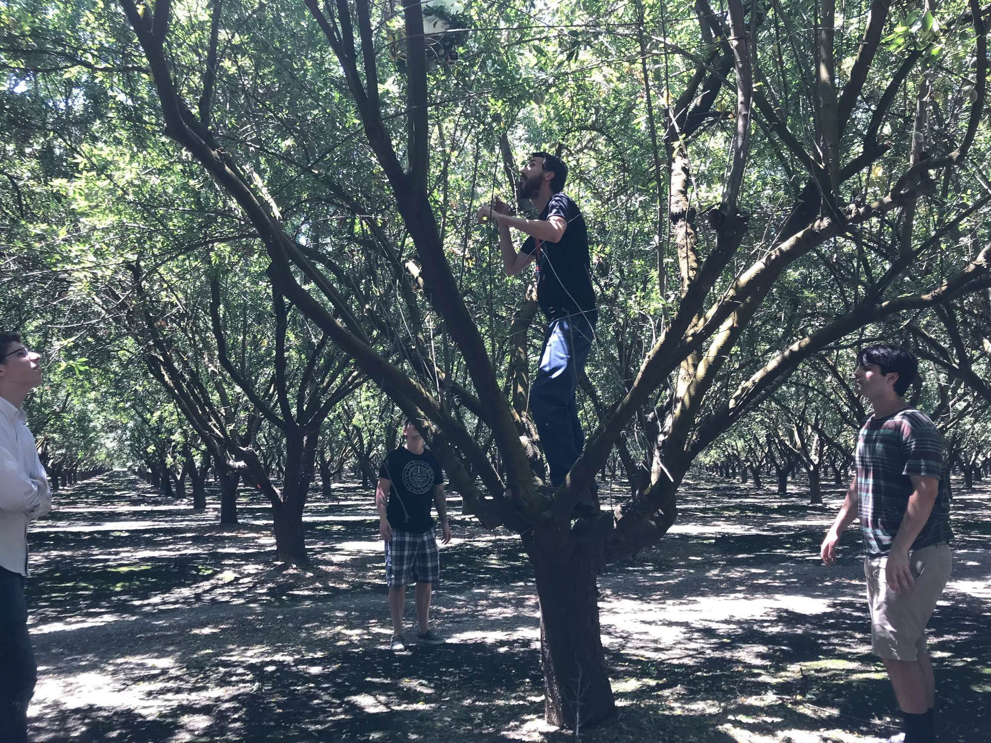
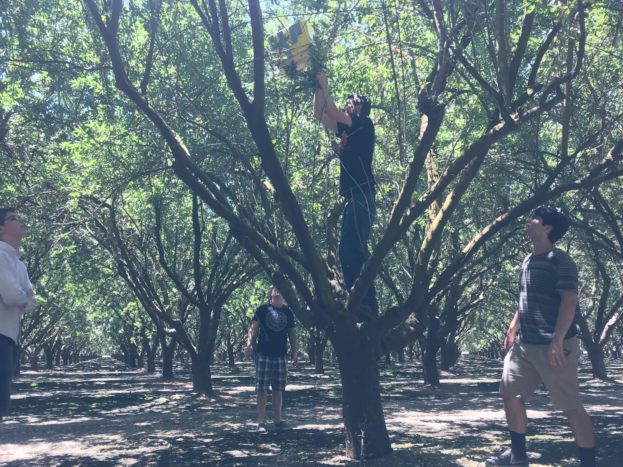
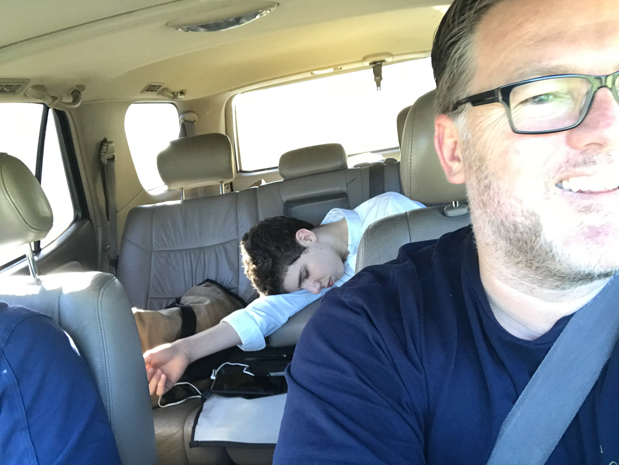
Luke Parker was in town interning with us at Outside Open and helped plan and execute a successful high altitude balloon launch and recovery. Thanks to the whole OO team: Matt, Trevor, Anthony, Brad and Tjaart for a fun day out!
Here is some misc info not covered in the Google spreadsheet below:
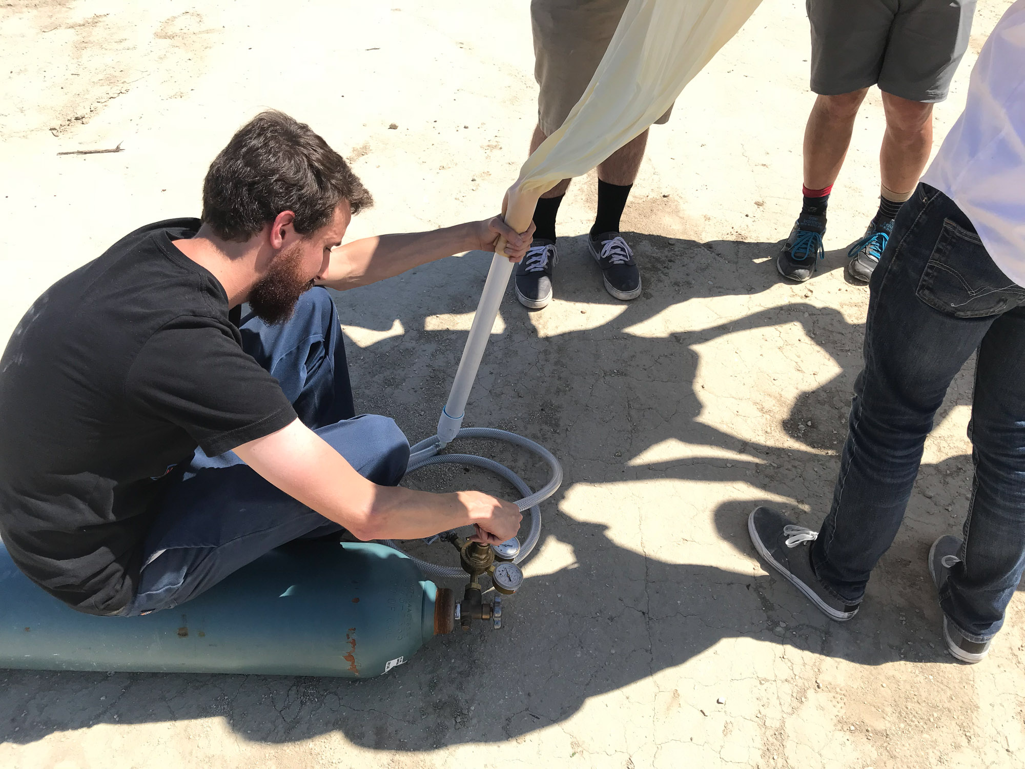
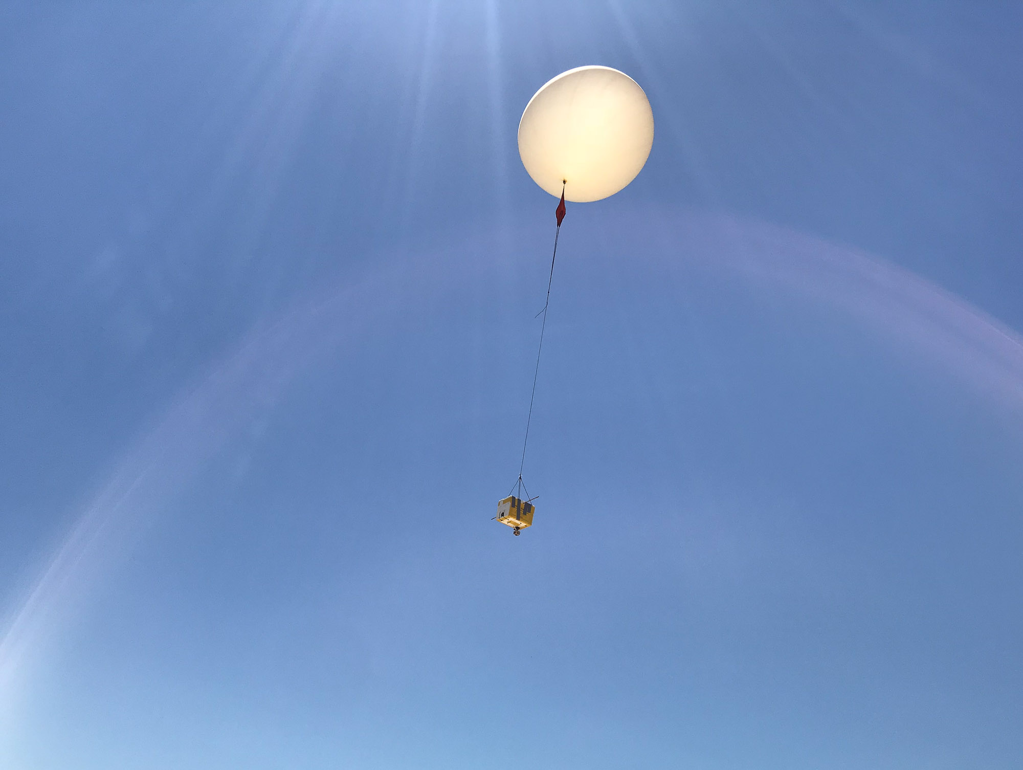
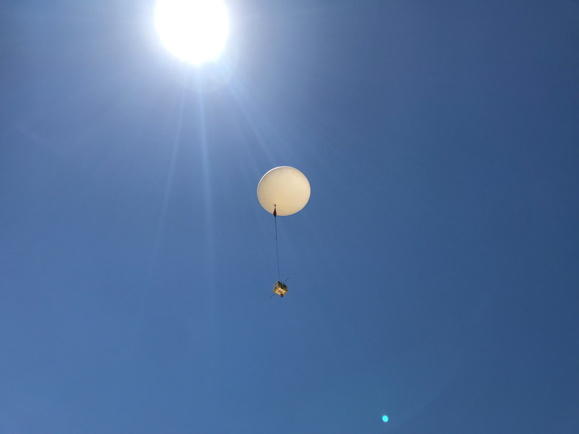
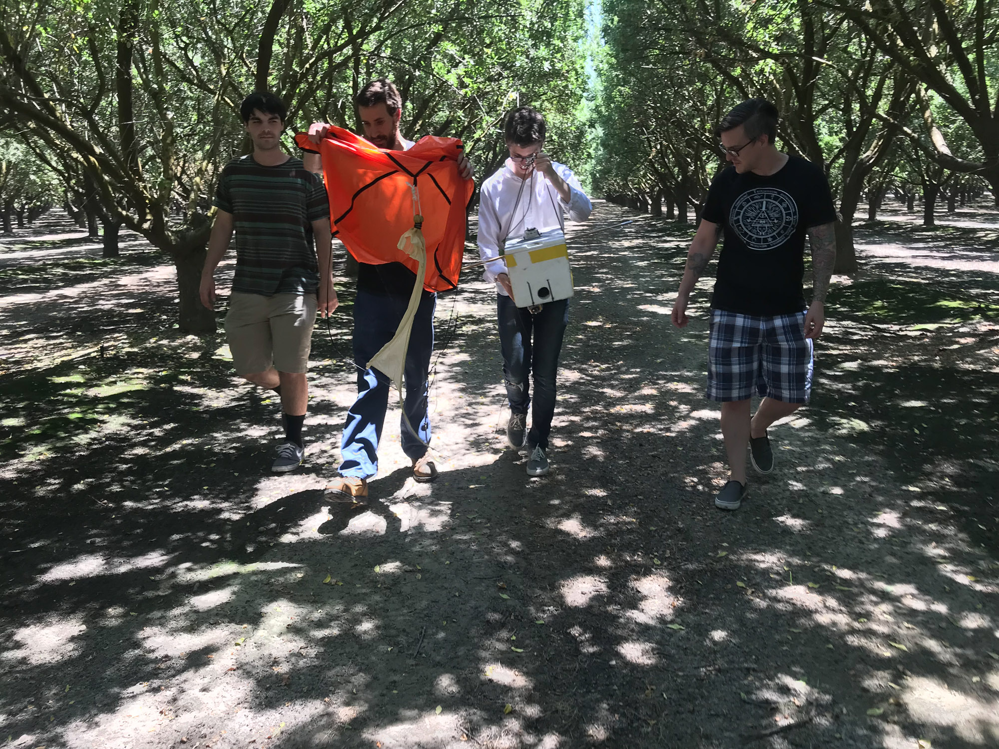
- Balloon – 1000 gram weather balloon from Scientific Sales.
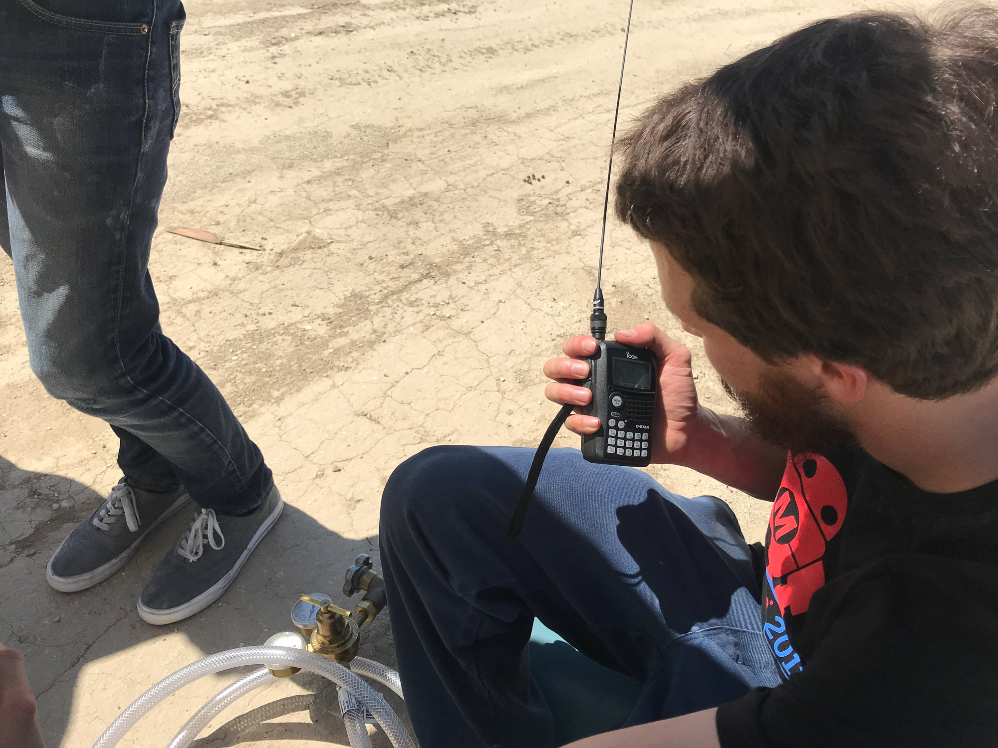
- Real-time telemetry and tracking: Byonics APRS GPS
- Distance from launch to landing: approx 19 miles as the crow flies, 29 by road.
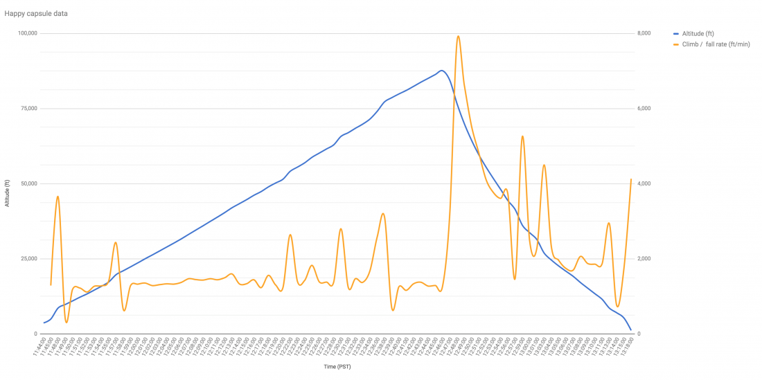
- Time ascending: 62 minutes
- Time descending: 31 minutes
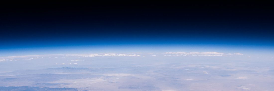
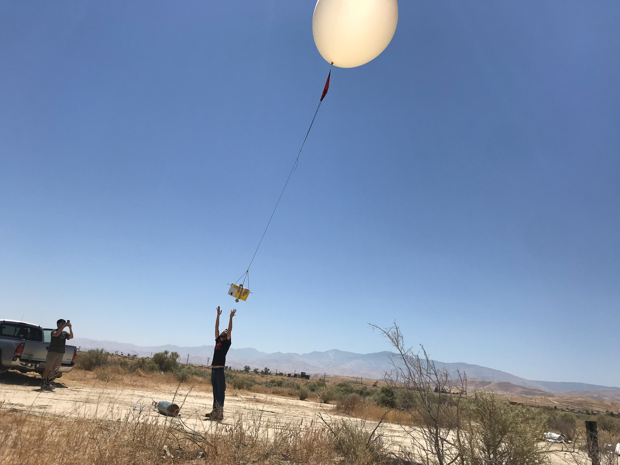
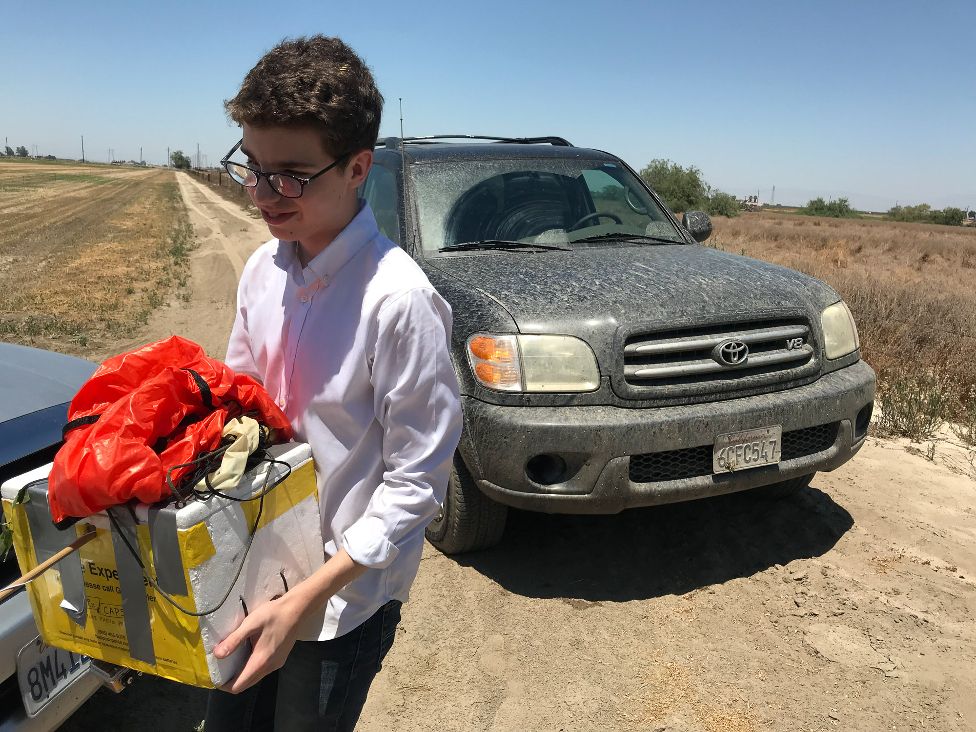
- Kodak SP360 and Canon G12 cameras
- Hand warmers with adhesive backing were stuck to the Canon G12 camera to keep the batteries warm and working.
- CHDK firmware for Canon PowerShot G12 running my CHDK Intervalometer script set to take a photo every 200 seconds.
- Download the raw data from CHDK (timestamps of photos, batter voltage info and temperature info for CCD, battery and lens.
- Rocketman 4′ parachute
- Max Altitude: just under 89,000 feet
- Terminal velocity when falling: 88.5 MPH
- Real-time tracking of the APRS data via http://aprs.fi
- KML data downloaded from aprs.fi and modeled in Google Earth
- Energizer Lithium batteries – these will continue to operate at -40, perfect for HAB
- Download the APRS .kmz data for Google Earth
- Google spreadsheets with all data and graphs from APRS and CHDK
- Download all full res photos from CHDK on the Canon
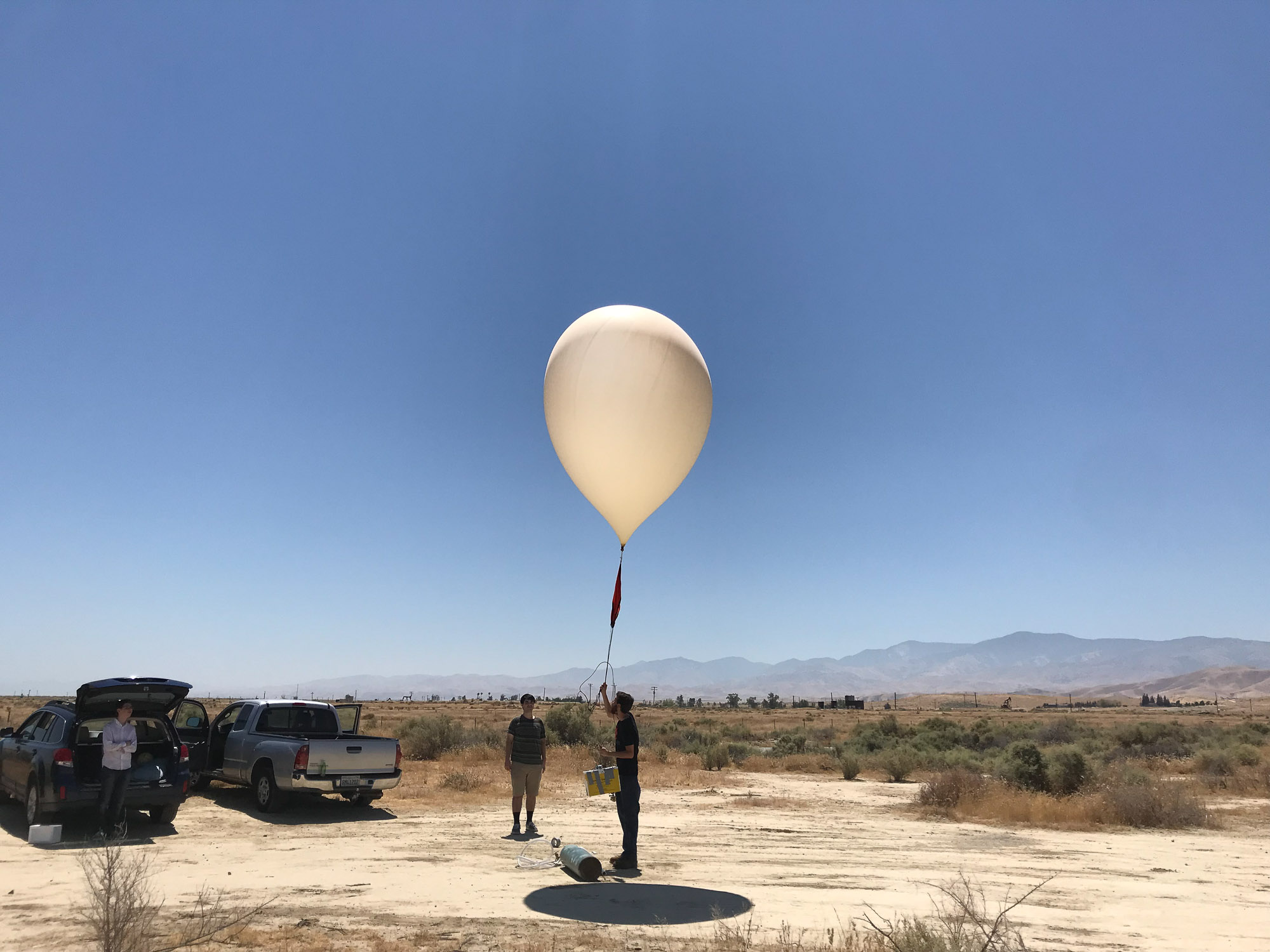
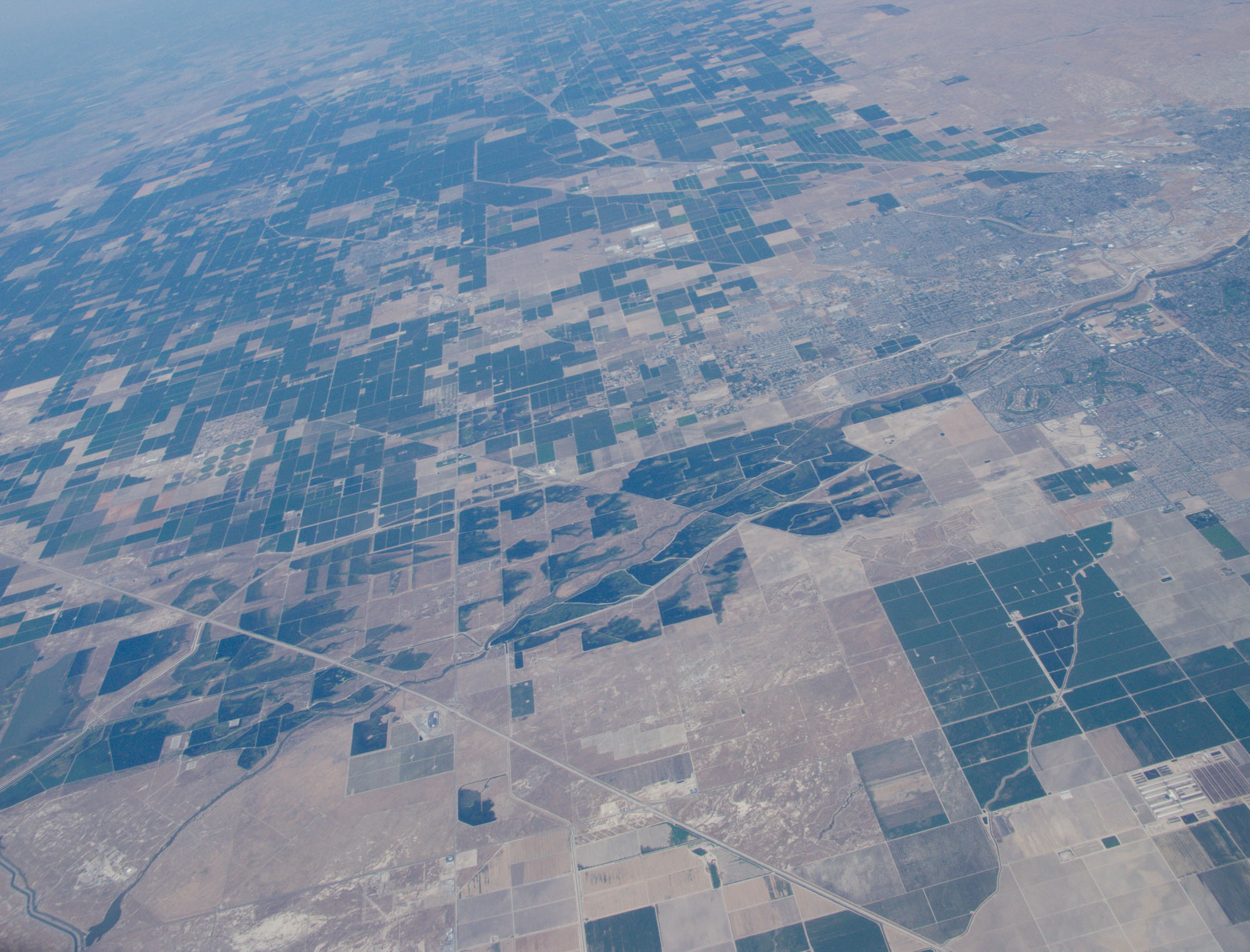
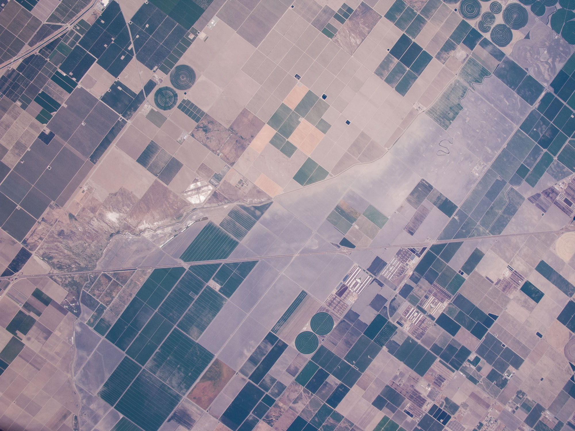
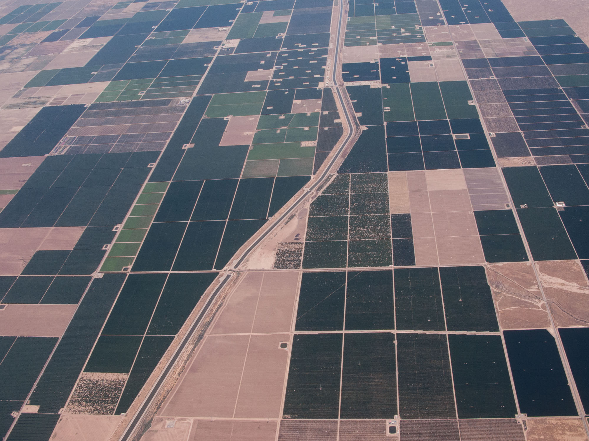
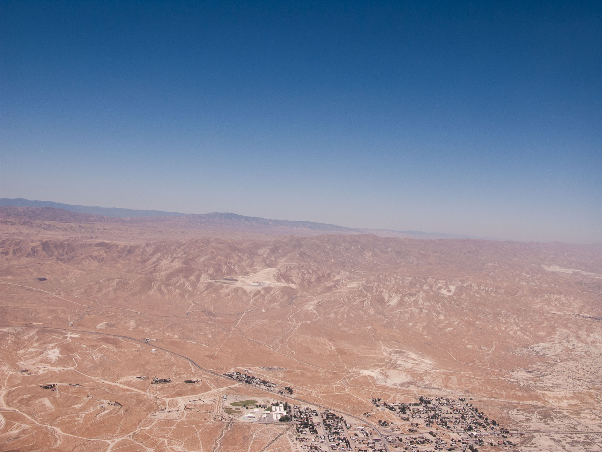
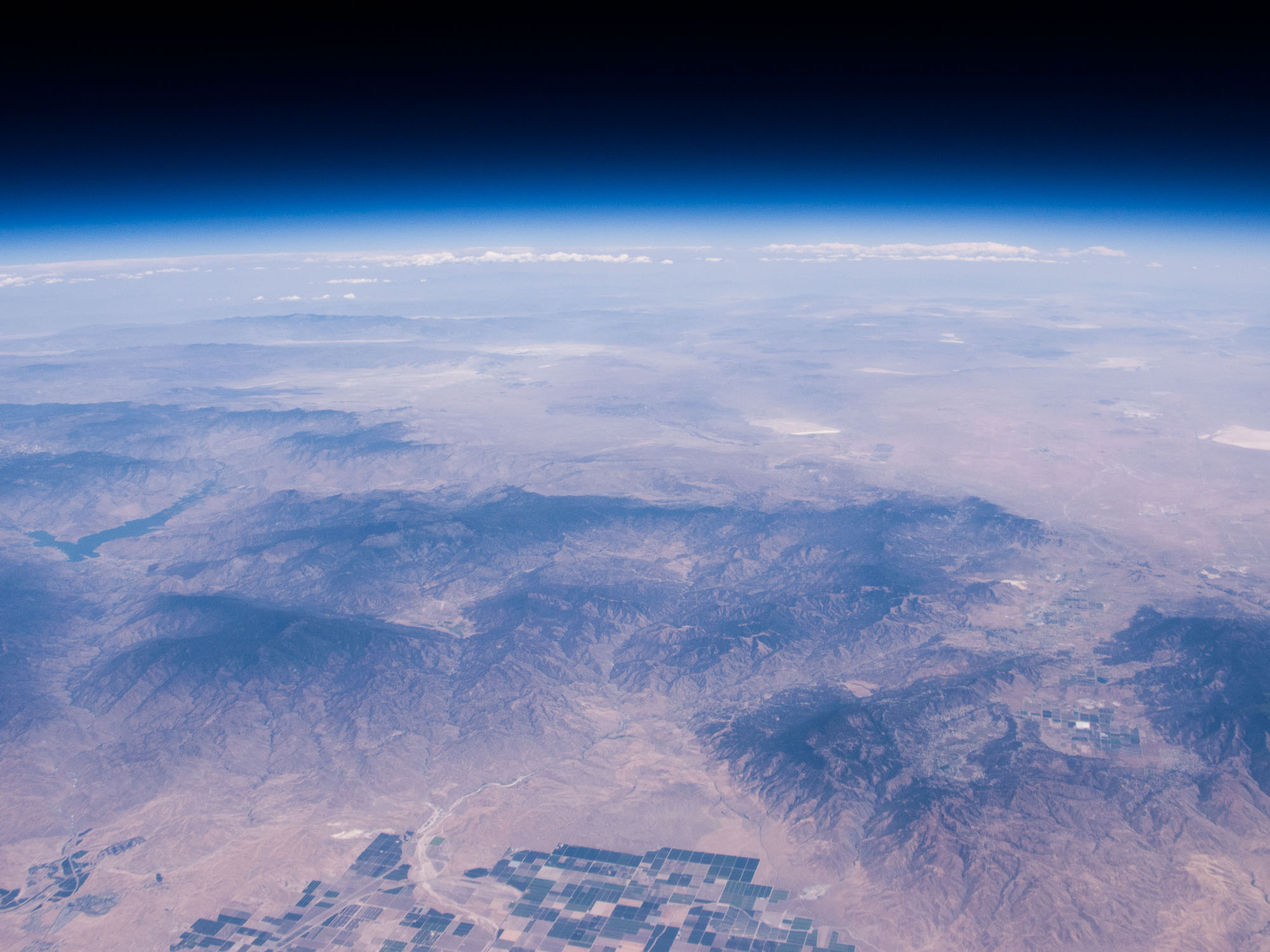
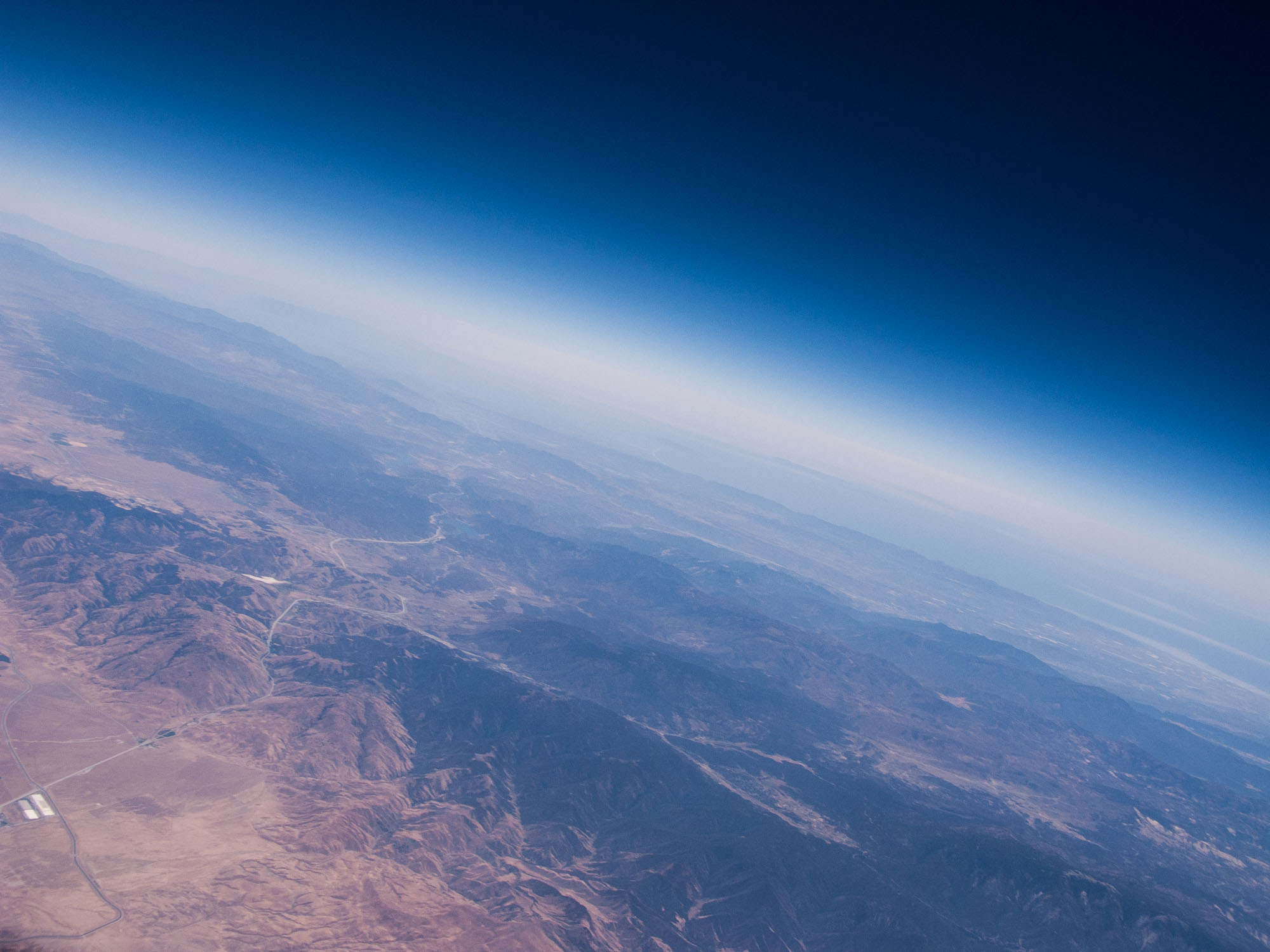
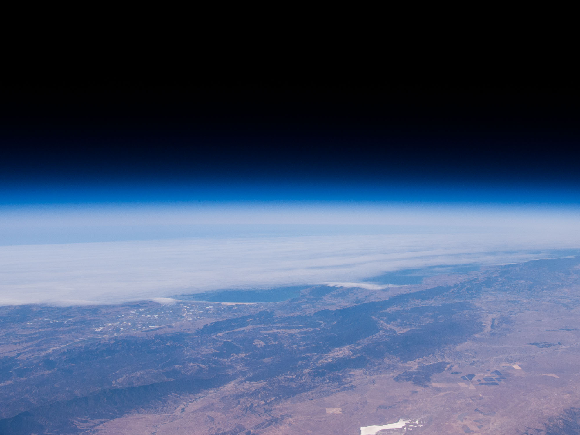
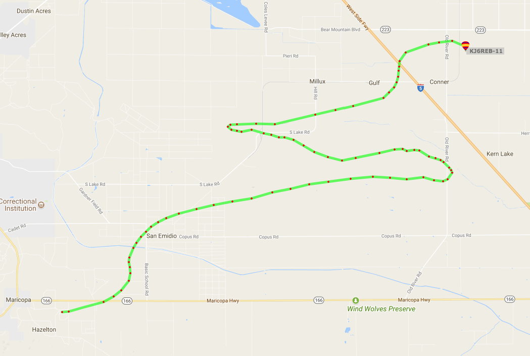
We launched from Maricopa, CA and the balloon traveled up to almost 89,000 ft (16.8 miles!) before bursting and landed 19 miles away near Conner, CA.  Below is a screenshot of the path from aprs.fi and a flight path render of the APRS .kmz data in Google Earth.